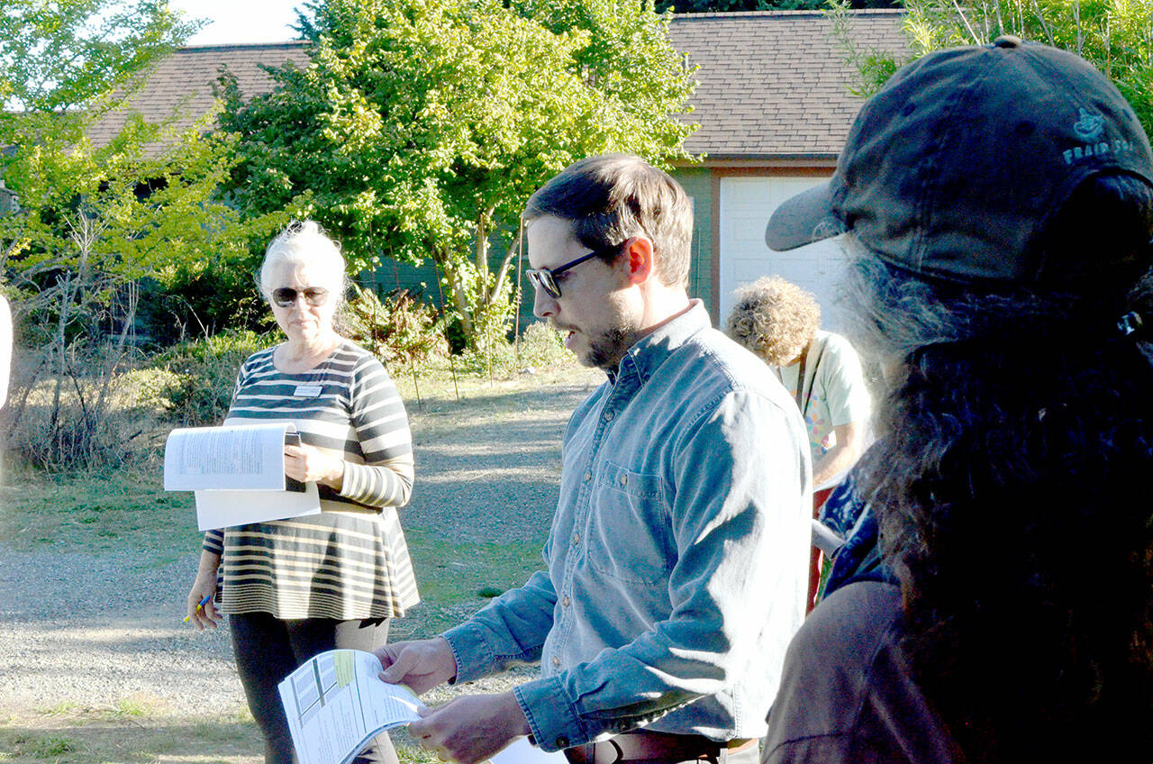
PORT TOWNSEND — City of Port Townsend staff hosted an affordable housing site tour as a part of their effort to drive public engagement during the 2025 comprehensive plan update.
“I think the most important thing is that what makes Port Townsend special over generations has been the people in the community,” said Emma Bolin, Port Townsend’s director of planning and community development. “If we don’t have a place for people to be, they’re going to be displaced and what makes us special will go away.
“It’s really important for people to be involved in the comprehensive plan update,” she said. “To focus on housing affordability is one of the key issues in this update.”
The tour was also a joint city council and planning commission session. Each had a quorum present.
The public tour Wednesday included stops at three sites and saw about 35 people — developers, officials, city staff and members of the public, including curious neighbors — participate.
The first stop was at a undeveloped property owned by Habitat for Humanity on 30th Street and Sheridan Street. Bolin greeted the group and framed the discussion not as a planning tour but as an opportunity to see and learn from previous projects.
Habitat for Humanity owns two parcels on 30th and Sheridan at the end of a gravel path. The parcels are zoned R-II, meaning each could have a primary single-family residence and two accessory dwelling units.
The property was chosen as a tour site to illustrate some of the infrastructure challenges Port Townsend sees in its housing problem. City Public Works Director Steve King said the easy sites are all developed in Port Townsend; these sites with infrastructure challenges are very common.
Roads with fewer than seven houses can be gravel, then they must be paved, per fire code, King said. Also, fire trucks need space to turn around, or a pass-through.
In the case of the unpaved section of 30th Street, King said the likely outcome would be punching through to Hendricks Street, the cross street near the back of the property.
In addition to needing pavement, and its accompanying maintenance, many of these properties need some combination of sewer, water and power, King said.
The lack of infrastructure can be a deterrent for projects because the expense typically falls on developers, King said.
One tool at the city’s disposal is the state Department of Commerce’s Connecting Housing to Infrastructure Program (CHIP) grant, Bolin said. The pass-through grant can provide funding for bringing infrastructure to affordable housing sites, but it’s competitive, limiting its accessibility, she said.
The second site on the tour was Laurel Heights and Rosecrans Terrace, neighboring properties developed concurrently by the same developers. Laurel Heights is subsidized housing and Rosecrans Terrace is market rate housing.
“We had a multifamily fourplex type and then we had a more dense single-family development in Rosecrans,” King said. “In Rosecrans, it’s not row housing, but it’s getting closer to that. When you hear multifamily or fourplexes, you think of density, and in this situation, the single-family development was actually more dense than Laurel Heights. The reason is the massive amount of yard space and big wide right of ways. ”
In Rosecrans Terrace, the average street length is 29 feet, very low, said King, who pointed out that Laurel Heights has a much larger street length per unit, which is not efficient for the cost of the road.
In 2023, the Port Townsend City Council passed ordinance 3306, which updated building codes to allow for two accessory dwelling units (ADU) per single-family residence, where one can be a tiny house on wheels.
Tour documents noted that the density approach taken by Rosecrans did not leave room for ADUs, while Laurel Heights’ open space could easily support ADUs.
Another dimension in the planning and development conversation was active transportation, or non-motorized vehicle transportation, with sidewalks being the main infrastructure.
“One thing we talked about is equity in access,” King said. “All abilities, children, wheelchairs, anybody with a disability, walking to schools and various places. The Laurel Heights Rosecrans development, out of all three locations, was the most connected. You could walk out to Discovery Road, you could walk down to the school, all in safe places.
“That’s not very common in Port Townsend,” he said. “We wanted to show folks what that meant for that neighborhood.”
The third site, a 12-unit Habitat for Humanity project zoned R-III, was at Nora Porter Loop off Hancock Street.
King said part of the motivation behind the inclusion of Nora Porter Loop was to show the narrower one-way road and the pocket parking present.
The city council recently renewed its interim street parking standards, which paused requirements for residential parking to be onsite. King said that decision is somewhat philosophical and an effort to prioritize housing over cars, something often found in larger cities.
Jamie Maciejewski, executive director of Habitat for Humanity of East Jefferson County, attended the housing tour. She said even though the maximum density allowed in R-III zoning allowed for greater density, it was not required, and the organization was not building vertically at the time of development.
Port Townsend will host a virtual open house to discuss different approaches being considered for rezoning in the city on Oct. 23. Details are to be determined.
“Simple, but a call to action I guess,” Bolin said. “So we can have an active marine trade community and economy, so we can have friends and neighbors who are multi-generational, and family activities and thriving kids in schools. That all comes down to our growth pattern and our density. If we miss the boat on this, history would probably not reflect on us very well.”
________
Reporter Elijah Sussman can be reached by email at elijah.sussman@sequimgazette.com.

