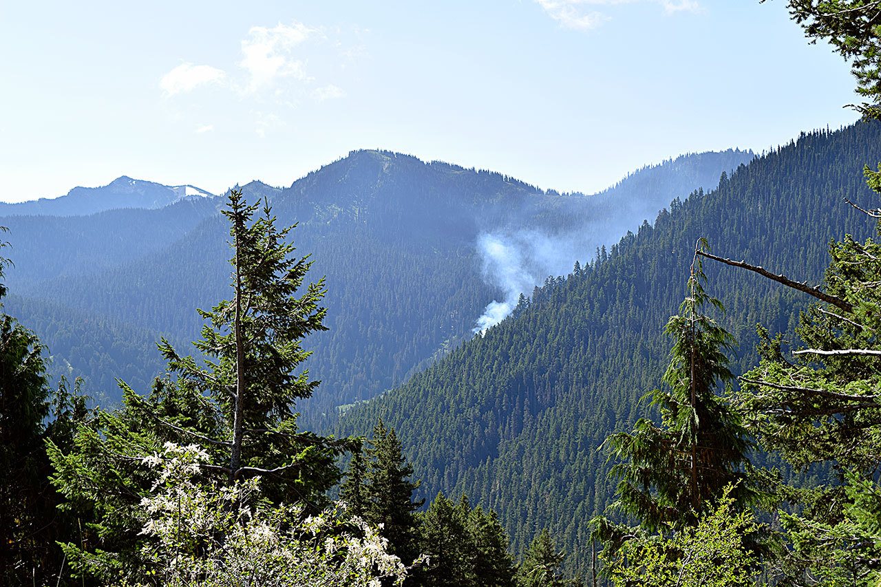
OLYMPIC NATIONAL PARK — Moderate temperatures have slowed fire activity over the past few days in Olympic National Park, a national park fire information officer said.
None of the four fires has grown, and visible smoke has decreased each day, said Lisa Wilkolak, information officer, on Thursday.
On Wednesday afternoon, fire monitors said they saw only two small smoke sources at the Cox Valley Fire, which is at 10 acres.
Smoke prompts closure
Smoke from that blaze, which is 12 miles south of Port Angeles near PJ Lake north of Obstruction Point Ridge, had prompted the closure of Obstruction Point Road last week. The road was reopened Monday.
The fires deeper in the wilderness – Hayes, Godkin and Ignar Creek – were monitored through the Hurricane Ridge webcam, and there was virtually no smoke showing Wednesday afternoon, Wilkolak said.
The Hayes Fire, which is 20 miles south of Port Angeles on a ridge line between the Lost River and Hayes River, remains at 150 acres, according to Thursday’s report.
The Godkin Fire, which is 25 miles south of Port Angeles along the Elwha River, has stayed at 90 acres, and the Ignar Creek Fire, which is about 22 miles northeast of Lake Quinault, is still at one-half acre.
On Wednesday, members of the Whiskeytown Fire Use Module arrived from Whiskeytown National Recreation Area and hiked to the remote fire areas.
They will update fire managers on current burning conditions and inventory the condition of park structures along the trails nearest these wilderness fires, Wilkolak said.
The data they collect will be used in management of these fires and will become part of the park’s long-term database about the role and behavior of fire in the Olympics, she added.
Fire monitors were scheduled to fly over the fires Thursday to gather additional observations and information.
Both aerial and on-the-ground monitoring will continue in the coming weeks, Wilkolak said.
Dry, sunny weather may increase the amount of smoke and fire activity, while cooler periods will likely decrease it, she said.
Planning ahead
Fire managers are planning for action that may become necessary to protect people or sensitive resources, such as historic buildings, Wilkolak said.
Analysts use computer modeling to evaluate if and how the fires could spread, depending on changing weather conditions. They use aerial imagery and data about vegetation to help them identify strategic locations to take action if needed, and where the fires are likely to stop spreading even without human intervention.
Potential risk to fire personnel and visitors is considered in every decision, Wilkolak said.

