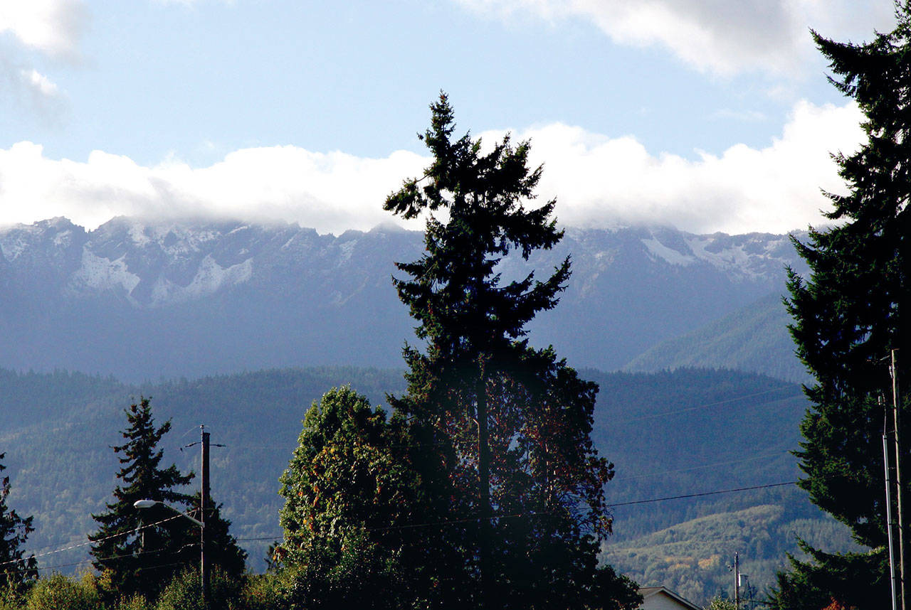
PORT ANGELES — Was the dusting of snow in the Olympic Mountains earlier this week a sign of what’s to come this winter?
Maybe.
Climatologists at the National Weather Service Climate Prediction Center are predicting the possibility of a La Niña winter, meaning the Pacific Northwest could face a cooler and wetter winter than normal.
They say there is up to a 60 percent chance for a La Niña winter, though the majority of models are predicting a neutral year, according to the National Weather Service.
A La Niña Watch was issued last week, but weather service meteorologist Art Gaebel said it’s still too early to tell what the winter is going to look like.
“This stuff changes all the time,” he said. “It remains to be seen at this point.”
He said neutral years, like last year, tend to be the ones that actually drop more snow in the region. He added that other forecasts show temperatures and precipitation being about normal.
“You can’t really draw too much from really anything right now,” Gaebel said.
Washington atmospheric sciences professor Cliff Mass wrote in a weekend blog post Saturday that though models are showing a La Niña year, “one should NOT expect more precipitation than last winter, which was the wettest on record by several measures.”
He wrote that there is a higher probability for “the white stuff” this year, especially in the mountains. He called it “a reasonable year to get an annual pass at your favorite ski area.”
Mass didn’t mention snow in the lowlands and said that at this point, models are showing only a modest La Niña.
“But after the smoke and heat of last summer, I suspect many Northwesteners are breathing a sigh of relief,” Mass wrote. “And the upcoming week promises plenty of clouds and rain to get us in the mood.”
________
Reporter Jesse Major can be reached at 360-452-2345, ext. 56250, or at jmajor@peninsuladailynews.com.

