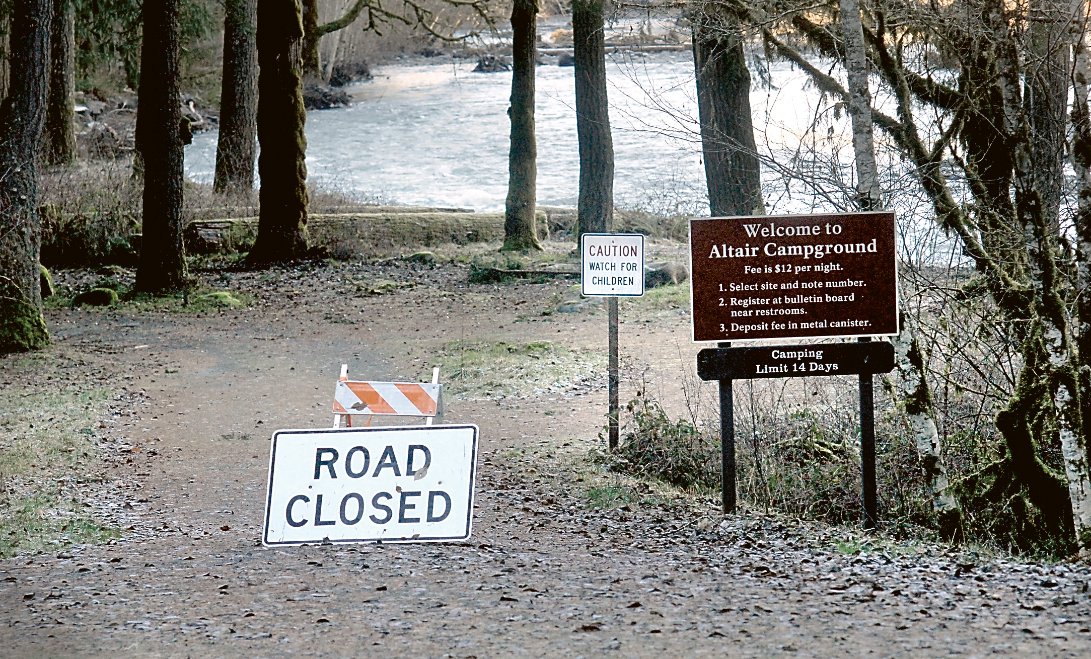
OLYMPIC NATIONAL PARK — Four Altair Campground campsites and 200 feet of road were damaged or destroyed in December when the Elwha River flooded as a trio of winter storms dropped a foot of rain into the watershed.
The river is changing its course, according to Olympic National Park officials.
On Wednesday, it was unclear how many campsites and how much roadway at the wooded area in the Elwha Valley west of Port Angeles might ultimately be lost to the river, said David Fuller, who was acting superintendent of the park on Wednesday. Superintendent Sarah Creachbaum is on vacation.
“It’s a dynamic situation,” Fuller said.
“It’s definitely going to look different this summer.”
Fuller said campground equipment, such as fire rings and picnic tables, have been moved to higher ground, but the decision has been made not to armor the banks against further erosion.
Park officials will make a decision about how to manage the much-changed campground in the spring, he said.
Altair campground, which had 30 campsites hugging the banks of Elwha River, is closed for the winter.
It is open from May through September, and has campsites that include space for tent or recreational vehicle camping.
The Elwha River rose above its 20-foot flood stage at the McDonald Bridge twice during the course of a series of three storms that drenched the Olympic Mountains from Dec. 8 through Dec. 11.
The storms dropped about a foot rain into the Elwha River watershed, according to the National Weather Service in Seattle.
During that time, the river scoured out large deposits of sediment from the former Lake Mills, and carried the soil downstream. That changed its course in several areas downstream, Fulton said.
The flooding aggravated changes already in motion after the demolition of two dams on Elwha River.
Altair Campground was built on a river floodplain that had been abandoned by the Elwha River when a lack of sediment, which was trapped behind the former Glines Canyon Dam, caused the river to dig out a deep, smooth channel and stay there, said Andrew Ritchie, park geomorphologist.
Once the dam was removed, sediment from the former Lake Mills filled the river channel and was deposited along the river.
That is allowing the river to re-establish its natural meandering shape similar to that of the Elwha River above the Lake Mills delta, braided and relatively shallow, Ritchie said.
“The river is happily exploring its former floodplain,” he said.
The $325 million Elwha River restoration project began removing the Glines Canyon Dam and the Elwha Dam in September 2011.
The Elwha Dam was fully removed by March 2012 and the last of the Glines Canyon Dam was destroyed in August of this year.
Mapping showed that some 34 million cubic yards of sediment were trapped behind the two dams.
The sediment that has washed downstream has built an estimated 80 acres of beaches at the mouth of the Elwha River on the Strait of Juan de Fuca, and restored gravel beds in the river that are necessary for salmon and other fish breeding habitat.
Ritchie said the river has increased its movement side-to-side within the original floodplain.
The movement is also threatening the Elwha Valley entrance to the park.
“The park has a close eye on the park entrance,” he said.
He said that the meandering movement of the river, in a natural state, would prevent a significant forest from becoming established in a wide floodplain.
Additional storms this winter could eat farther into Altair Campground unless the river changes course and moves to another part of its floodplain, Ritchie said.
________
Reporter Arwyn Rice can be reached at 360-452-2345, ext. 5070, or at arice@peninsuladailynews.com.

