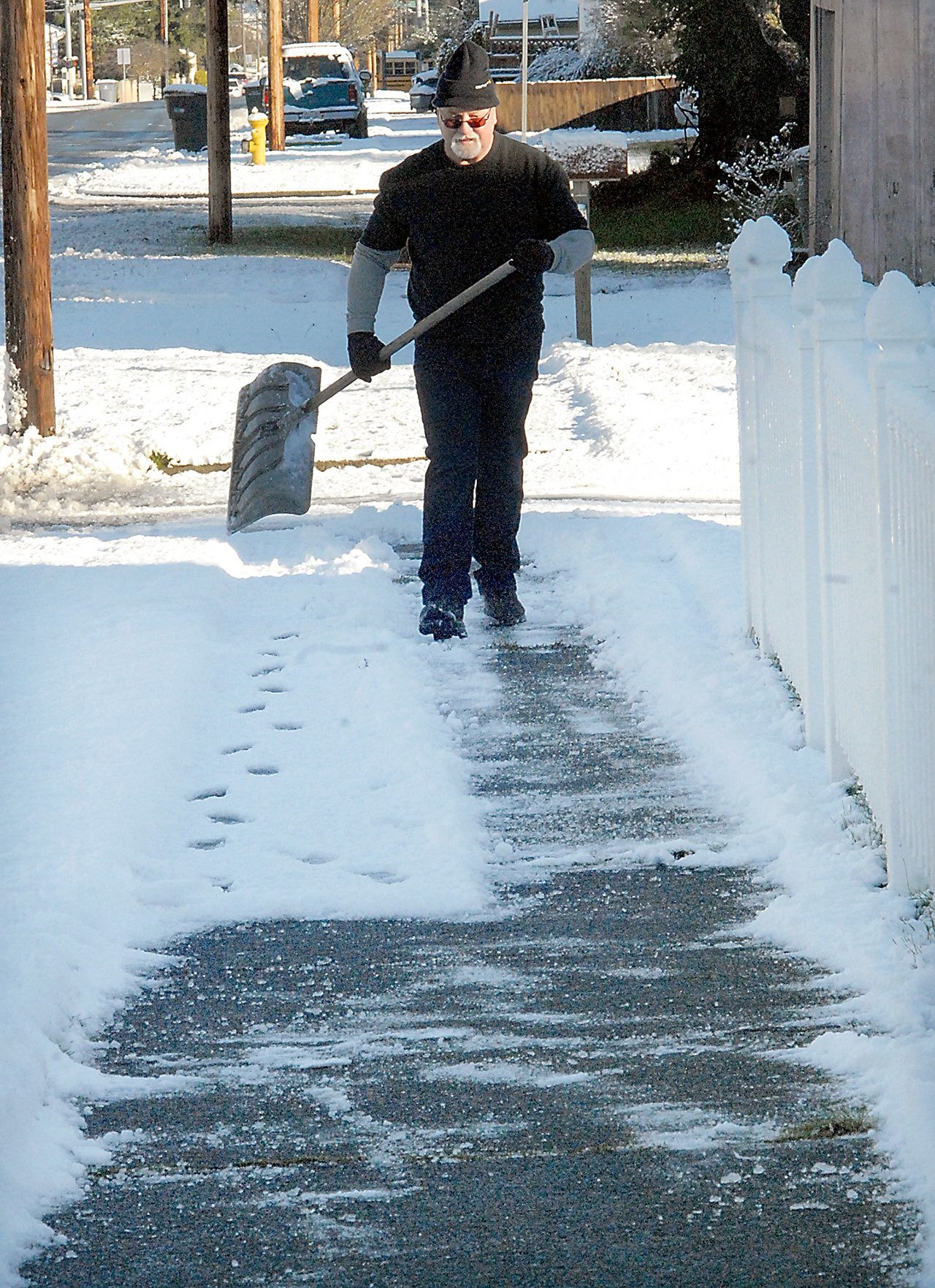
PORT ANGELES — Snow and ice decreased Tuesday after a blanket of snow covered much of the Port Angeles area Monday night, delaying schools, causing problems for drivers and turning some neighborhoods into winter wonderlands.
Most of the Port Angeles area got 1 to 3 inches of snow, with at least one person reporting up to 8 inches, said Johnny Burg, a National Weather Service meteorologist.
“Clallam County definitely got the highest amount” of lowland snow on the North Olympic Peninsula, he said. “If there was a prize, Clallam County won it.”
Sequim residents reported getting a fraction of the snow Port Angeles saw.
Chief Patricia Hutson of Clallam County Fire District No. 5 of Clallam Bay-Sekiu said some areas on the West End received snow, with depths ranging from 1 to 2 inches to 3 or 4 inches.
Snow was reported in Jefferson County, but there wasn’t very much, Burg said. Someone near Port Ludlow reported 0.1 inch of snow Tuesday morning, he said.
The weather service issued a storm watch early Monday that was upgraded to a warning by afternoon.
A torrent of pea-sized hail pummeled the downtown area before snow fell for hours.
That snow created some frustrations for drivers on their way to work Tuesday morning, with ice- and snow-covered roads throughout Port Angeles and much of the county.
Port Angeles police briefly blocked some roads Tuesday morning, including parts of Lincoln and Race streets.
State Trooper Russ Winger said there were two reportable wrecks Tuesday on U.S. Highway 101 east of Port Angeles. One was at Deer Park Road and another was a bit farther east, he said.
The State Patrol wasn’t tracking spinouts, he said.
For the most part, people seemed to drive responsibly, said Clallam County Sheriff Bill Benedict, who added that his office responded to few calls.
He knew of a few wrecks on U.S. Highway 101 and a number of vehicles that ended up in ditches on county roads, but not enough to keep the Clallam County Sheriff’s Office too busy.
Benedict did say, however, that people with four-wheel-drive should still use caution when driving.
“It’s one thing to get traction going forward, but all cars are equal when they want to stop,” he said. “When I see a car in the ditch when there’s snow, it’s invariably a four-wheel-drive.”
Monday night’s snowfall might not be the only snow this week.
The weather service is predicting snow Thursday afternoon and evening as a new system approaches the Olympic Peninsula.
Forecasters expect warm, moist air above cold air, Burg said. Precipitation is expected to start off as snow and then become rain late Thursday or early Friday, he said.
“It might be warm enough where things aren’t sticking,” he said. “It can start as snow, then change to rain.”
It’s also possible the snow would just continue to fall through the night into Friday morning, according to the weather service.
This type of weather pattern typically makes more widespread precipitation than what was seen in Monday’s system, according to the weather service.
Meteorologists expect Thursday to be breezy, with winds upward of 20 to 25 mph.
The Port Angeles and Sequim school districts each had a two-hour late start Tuesday.
The Port Angeles district announced Tuesday that today it will be on regular schedule but on snow and emergency bus routes.
Dozens of flights have been canceled at Seattle-Tacoma International Airport because of winter weather conditions.
Alaska Airlines canceled about 35 flights from morning until about noon Tuesday as a precaution. The airline said cold temperatures are creating the potential for ice at the airport and on aircraft.
KIRO-TV reported that several dozen flights on other airlines are also canceled or delayed out of the airport.
________
Reporter Jesse Major can be reached at 360-452-2345, ext. 56250, or at jmajor@peninsuladailynews.com

