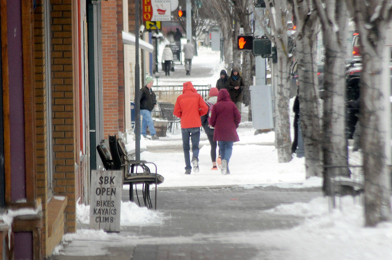
Freezing rain could create dangerous road conditions this morning as temperatures on the North Olympic Peninsula begin to rise out of the teens and precipitation turns from snow to rain over the holiday weekend.
The National Weather Service’s winter storm watch ends at 7 p.m. today. What’s expected to be moderate to heavy rainfall will eventually melt several days’ worth of accumulated ice and snow.
Before that happens, roads could be overlaid with a film of ice. Rain that falls onto cold surfaces and immediately turns to ice is known as freezing rain, and the weather service has issued warnings about the possibility of freezing rain.
Additional snow is forecast in the early morning hours today, but by noon, temperatures are expected to rise to the mid-40s as rain sets in for the weekend.
The weather service has warned of dangerous road conditions during the transition from snow to rain, followed by the potential of urban flooding once several days of snowfall begins to melt.
Thursday afternoon, the Jefferson County Department of Emergency Management issued an advisory asking residents to avoid non-essential travel from Thursday evening to mid-day Friday.
“Residents are STRONGLY advised to avoid all non-essential travel during this time,” the department said.
The advisory also urged residents to prepare for power outages caused by falling branches or additional snow and ice weight.
Jefferson County commissioners announced Thursday afternoon that all county offices would be closed today due to the weather alert.
Public utility district officials on the Peninsula said they’re hopeful previous winter storms like those in November already cleared the loose branches and other objects that might fall on power lines, but crews were ready to respond to outages as needed.
“I think maybe the previous couple of storms that we had brought down the danger branches,” said Nicole Hartman, spokesperson for Clallam County Public Utility District (PUD). “At this point now, the trees have dropped their leaves already, that helps.”
Hartman also advised residents to prepare for potential outages by doing things like keeping phones charged and having extra batteries on hand. Food-storage containers also could be filled with water and frozen to be used as ice packs inside unpowered refrigerators to keep food cool longer, Hartman said.
Jefferson County PUD spokesperson Will O’Donnell said Wednesday the utility was similarly cautiously optimistic previous “shakeout storms” had already knocked loose troublesome branches.
Road crews in Jefferson County were able to keep main roads mostly clear of ice and snow, according to Matt Stewart, county road maintenance superintendent, but many secondary roads throughout the county haven’t been plowed as thoroughly and are covered in packed ice.
Stewart said crews have shifted from plowing to spreading sand for additional traction, but the predicted snow and then rain, and the possibility of freezing rain, would make for dangerous road conditions.
“Our bigger focus is shifted toward preparing what we think will be the worst driving weather,” today, Stewart said.
“We can pre-treat roads with salt and hope that that salt is sufficient to keep that rain liquid when it hits the pavement,” he said.
Non-essential travel is discouraged, Stewart said, and motorists who did need to travel should prepare for icy and snowy conditions. That can include the use of chains, snow tires and four-wheel drive vehicles, Stewart said, but also includes changing driving habits to suit the conditions.
“Everyone can reduce speed and increase their following distance. That’s without any additional equipment,” Stewart said.
Starting today, rain and temperatures in the mid-50s will mean heavy snowmelt, which could lead to urban flooding, said Johnny Burg, meteorologist with the National Weather Service in Seattle.
“By Saturday, we’re looking at rain and a high of 51,” Burg said. “A lot of the snow that melts is probably going to cause some localized urban flooding.”
Some larger rivers may see elevated levels, the weather service forecast said, but widespread river flooding is not expected.
“Additional moderate to heavy rainfall early next week is expected as a series of atmospheric rivers may take aim at the Pacific Northwest,” the agency said in its winter weather warning.
“Each of these potentially intense systems are lined up to impact the region every 24 hours or so. This could lead to additional river flooding, especially with snow levels likely remaining elevated with these warm and moist weather systems leading to progressively higher flows through at least the first part of next week,” the forecast said.
________
Reporter Peter Segall can be reached at peter.segall@peninsuladailynews.com.

