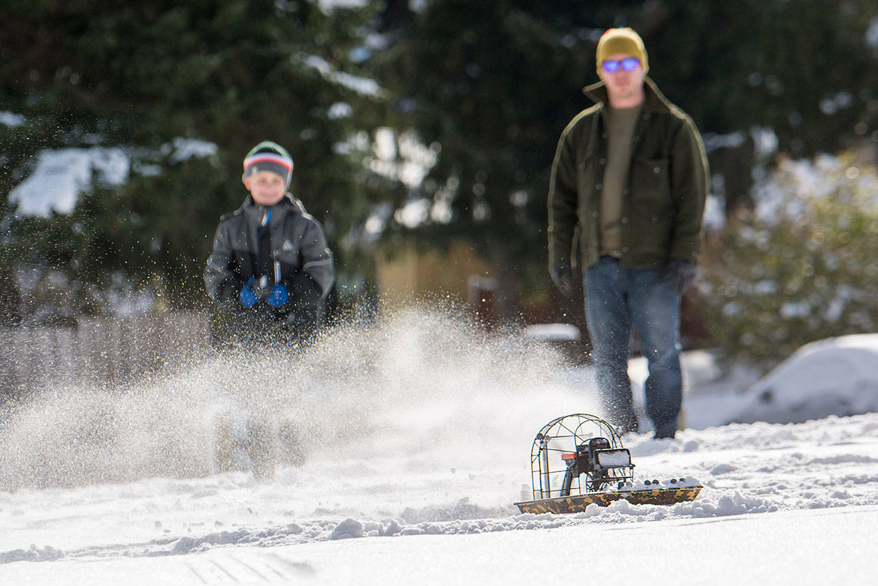
PORT ANGELES — Sun and clear skies Sunday offered North Olympic Peninsula residents a short chance to get out of the house before snowfall is expected to hit again Monday.
“Here we go for rounds three and four,” said National Weather Service meteorologist Jeff Michalski on Sunday.
He said that a “quick glance” of snow was expected Sunday evening, but the real storm was expected Monday afternoon into Tuesday.
In addition to the couple of inches of snow predicted for Sunday night, he said there should be another four to six inches in many areas along the North Olympic Peninsula with more snow expected for people who live at higher elevations.
Michalski said less snow is expected on the West End, and it wasn’t clear whether the precipitation would start as rain.
He said that due to the complex terrain there’s never a high confidence in accumulation estimates and that there could be a varying degree of snow totals.
Residents on the North Olympic Peninsula learned that Friday and Saturday when snow accumulations ranged from a few inches to a few feet, depending on where people lived.
Michalski said the winds from the Fraser River Outflow are expected to be less intense Monday than they were during the storm Friday and Saturday.
“There could be less of a chance of a really strong influence, but given the moisture content of the storm and the ongoing cool conditions, it seems likely that heavy snow is to be expected,” he said.
He said winds along the Strait of Juan de Fuca could be between 15 to 30 mph and urged people to be prepared for the possibility of power outages.
Throughout the weekend about 6,200 customers lost power across the Olympic Peninsula due to the storm. By Sunday afternoon, all but 115 customers in Clallam County and four customers in Jefferson County had their power restored, according to Clallam County Public Utility District and Jefferson County PUD.
People also need to be ready for more snow throughout the week, Michalski said.
He expects lingering snow showers Tuesday night into Wednesday and then again Thursday and Friday.
“There’s a chance we might be moderating a little,” he said. “It’s system after system here. Definitely be prepared for more winter-like weather through this week.”
Clallam County Undersheriff Ron Cameron said he is concerned about the snow that could accumulate during the upcoming storms.
He said that accumulation on roofs, especially flat roofs, has the potential to cause structure damage.
His top concern though is keeping roads plowed so that first responders can make it to calls.
He is urging people to be ready for the possibility of power outages and asks that people stay home unless they absolutely have to be on the roads.
“I know people have to work, but if there’s any chance they can take a snow day, that’s the best advice for when it’s as bad as it has been,” Cameron said. “Buckle down for the next round of snow.”
The city of Sequim in a news release Sunday asked residents to help by clearing the sidewalk in front of their homes and businesses and to help neighbors who are unable to do so.
The Sequim Civic Center is closed Monday and the Sequim City Council meeting scheduled for Monday evening has been canceled.
The Clallam County Courthouse and all of Peninsula College’s campuses also are closed.
The Clallam County commissioners meeting set for Monday was canceled.
School closures
A number of school districts across the North Olympic Peninsula announced closures for Monday, including Port Townsend, Port Angeles, Chimacum, Brinnon, Quilcene and Sequim school districts.
Check www.peninsuladailynews.com for more information.
________
Reporter Jesse Major can be reached at 360-452-2345, ext. 56250, or at jmajor@peninsuladailynews.com.

