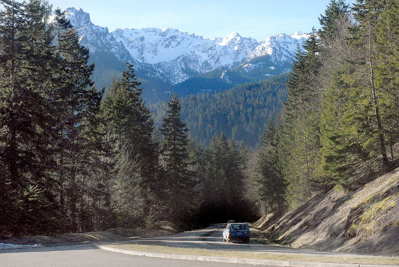
MOUNT VERNON — Olympic Mountain snowpack in the days before spring was 119 percent of normal, a good outlook for water resources in the dry months ahead, a water supply expert said.
Based a 30-year average from 1981 through 2010, the Olympics and nearly every other basin in the state had above-normal snowpacks, according to the U.S. Department of Agriculture.
“We made a great comeback in late February and early March from some of the storms we had,” said Scott Pattee, a water supply specialist with the USDA’s Natural Resources Conservation Service in Mount Vernon.
“That put the icing on the cake. Now we’re looking for that cherry on top.”
April 1 is often used as benchmark for measuring snowpack because that is considered the peak of the season.
The National Weather Service was calling for more snow later this week at Hurricane Ridge, which had more than 9 feet of snow on Saturday. Snowpack is the amount of water in the snow.
Olympic snowpack has been above normal throughout the winter, consistently besting basin averages in the Washington and Oregon Cascades.
“You guys were in good shape right off the bat,” Pattee said in a Friday interview. “Then it was good maintenance after that.”
Snowpack is important for municipal water supplies, irrigation and maintaining river flows for salmon in the late summer and early fall.
It also drives hydroelectric dams in Eastern Washington that provide power to the North Olympic Peninsula through purchasing agreements between the Bonneville Power Administration and local utilities.
A unusually low snowpack in the winter of 2014-15 led to summer water shortages in parts of the North Olympic Peninsula.
Clallam County is working with several state agencies, tribes and other groups to build an off-channel reservoir for the Dungeness River to maintain adequate flows in August and September.
Snowpack is measured at four telemetry sites in the Olympic Mountains.
As of Saturday, snowpack was 120 percent of normal at the 5,010-foot Waterhole site on Obstruction Point Road near Hurricane Ridge.
Snowpack was 117 percent at the 3,960-foot Mount Crag site in east Jefferson County.
The 4,010-foot snow telemetry, or SNOTEL, site in the upper Dungeness River watershed was off line Friday.
The 4,870-foot Buckinghorse site in the upper Elwha Valley is too new for historical averages but had 52 inches of water in the snowpack.
Snowpack was 119 percent in the North Puget Sound basin, 107 percent in the central sound, 95 percent in the south sound and 102 percent in the Lower Columbia.
In Eastern Washington, snowpack was 135 percent in the Upper Columbia Basin, 104 percent in the Central Columbia, 101 percent in the Upper Yakima, 98 percent in Lower Yakima and 112 percent in the Lower Snake basin.
“The whole state is good,” Pattee said.
Most scientists predict that the Northwest snowpack will diminish over time as the climate warms.
University of Washington atmospheric sciences professor Cliff Mass discussed the matter in a Friday blog at http://cliffmass.blogspot.com/.
Mass was critical of dramatic headlines about a recently-published paper on the loss of western snowpack, saying data from the same study shows a high degree of variability and “an apparent slow decline in snowpack over the past century.”
Pattee agreed, noting that the snowpack had been steadily shrinking before the Natural Resources Conservation Service began collecting data in 1981.
Mass warned in his blog that increasing CO2 emissions will cause more global warming and would have “major impacts” on future snowpack, particularly after 2050.
“I always still preach conservation and efficiency and prudency in water use,” Pattee said.
”It doesn’t matter that we’re at 119 (percent). It’s still a good idea develop those practices.”
Pattee added: “We’re going to have less water.”
________
Reporter Rob Ollikainen can be reached at 360-452-2345, ext. 56450, or at rollikainen@peninsuladailynews.com.

