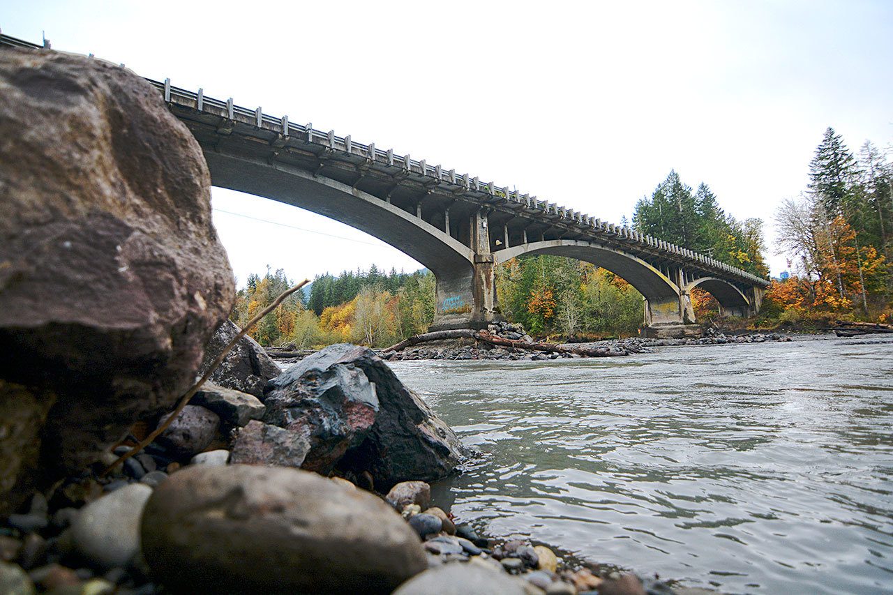
PORT ANGELES — The state Department of Transportation is exploring options for the Elwha River bridge on U.S. Highway 101 west of Port Angeles as the now-wild river continues to eat away at the riverbed under the bridge.
The state Department of Transportation is considering multiple solutions to the problem, which could include completely replacing or retrofitting the bridge, said Claudia Bingham Baker, DOT spokeswoman, adding that no decision has been made yet.
Cara Mitchell, DOT spokeswoman, echoed Bingham Baker’s comments.
“It could be a wide variety of options. It is too early to tell,” she said. “We honestly don’t know what the future has in store for that [bridge].”
Drilled samples
The DOT discovered after crews drilled bore samples earlier this month that the two bridge piers sat atop gravel — not bedrock, as officials had hoped.
Because the bridge was built in 1926, DOT needed to verify what the bridge was actually built on, Mitchell said.
Engineers are using the information gathered to decide how to make sure the piers are stable, officials have said.
Crews have already placed large boulders around the piers to prevent further erosion, but that is only a temporary measure.
“We’re discussing options right now,” Bingham Baker said, adding there isn’t yet a timeline for whatever work might be done.
The bridge is safe to drive across but is being heavily monitored, she said.
“We’re keeping a very close eye on it and we have electronic monitoring on it,” she said. “It is safe as long as it is open to the public.”
The state installed meters that detect movement on each of the piers. Crews will also continue to monitor the condition of the rip-rap around the two piers.
High flows
Officials are concerned high flows in the Elwha River, above 8,000 cubic feet per second (cfs), could affect the piers. Bingham Baker said the storms last week didn’t appear to affect the bridge.
Flows in the Elwha River were recorded between 8,000 and 9,000 cfs Friday, according to the U.S. Geological Survey.
“When it reaches that point, then our crews start taking a closer look,” she said. Debris and changing river behavior are among the concerns.
Sediment from the former Lake Aldwell and high water have scoured the riverbed in which the piers sit, Bingham Baker said. Officials have said the riverbed has been washed out 14 feet down since the Elwha Dam downstream was removed in 2012.
Sediment
The area has been affected by both the Glines Canyon Dam upstream and Elwha Dam removals. The lower dam allowed sediment to build up, which affected water flow, she said.
The Elwha Dam was removed along with the Glines Canyon Dam higher up the river as part of a $325 million National Park Service project to restore the Elwha River to its wild state.
The state would not have access to contingency funding left over from the project, Mitchell said.
“It just changed the dynamic of the riverbed,” she said.
Officials were concerned in 2011 removing the dams could affect the bridge, which was built after the Elwha Dam and just before the completion of the Glines Canyon Dam.
“We were concerned that there was a possibility removing the dams could be an issue,” Mitchell said. “It was more wait-and-see-and-monitor.”
The DOT isn’t concerned about the other bridges that span the Elwha River, including the state Highway 112 bridge, she said. Other bridges were not built with piers anchored in the riverbed.
“Safety is our No. 1 priority,” Mitchell said. “As long as the bridge is open, it is safe to drivers.”
________
Reporter Jesse Major can be reached at 360-452-2345, ext. 56250, or at jmajor@peninsuladailynews.com.

