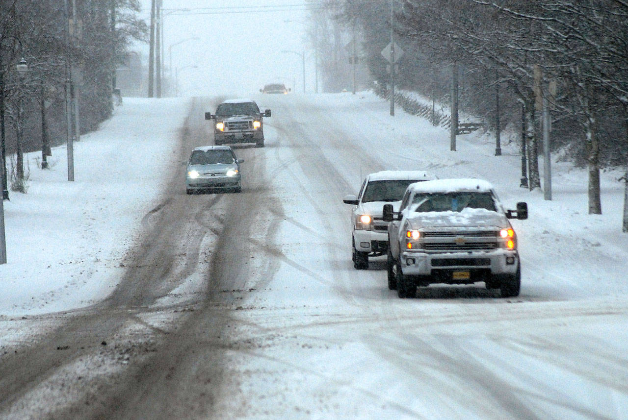
PORT ANGELES — The Olympic Peninsula found itself buried in a wintry snowstorm Friday night and Saturday morning with more snow expected into Saturday evening and again today.
The good news for motorists is the snow is forecast to transition into rain sometime Sunday night, according to U.S. National Weather Service (NWS) meteorologist Mary Butwin in Seattle. Butwin said a “wintry mix” of snow, sleet and then rain is forecast to hit the Olympic Peninsula in the afternoon or evening today.
Butwin said snowfall amounts will depend on location and elevation as the Olympic Peninsula has a lot of micro-climates.
“We expect mostly a dusting and a trace of snow [today],” Butwin said.
Butwin, who has a doctorate, said that Port Townsend, Forks and the Hood Canal were likely to receive about an additional 4 to 6 inches for the rest of Saturday while Port Angeles and the Sequim area were expected to receive an additional 2 to 3 inches. Snowfall totals from 7 a.m. Saturday were the latest available from the NWS.
She said snow is expected to taper off Saturday evening, but another storm is likely to bring more snow into the area Sunday. The NWS is forecasting less than an inch of accumulation throughout most of the North Olympic Peninsula on Sunday.
Snowfall as of Saturday morning varied from about 9 inches along the Hood Canal to ½ inch to 1 inch in the Sequim area.
According to the NWS, stations in Port Angeles measured between 1.5 to 3.3 inches of snow from Friday morning to 7 a.m. Saturday. Port Townsend measured 1.7 inches, Forks 2 inches and Hoodsport 8.2 inches.
The next snowfall totals from NWS will be this morning.
Strong winds with gusts up to 26 miles an hour hit in the afternoon, causing blowing snow. Clallam PUD reported some minor power outages Saturday with a handful of people losing power around Forks and Neah Bay. About 25 people total were without power, according to Clallam PUD’s outage map. Jefferson County had one small outage Saturday afternoon outside of Port Townsend affecting six customers.
Neighborhood residents reported 5 inches in the Mount Pleasant area and up Blue Mountain Road, 6½ inches in the Canyon Edge Drive area above Port Angeles High School and 3 inches at the Clallam County Fairgrounds around Lincoln Park.
While the official NWS number at the Forks station is 2 inches, District 1 Fire Chief Bill Paul said that about 5 to 6 inches of snow had accumulated in the Forks area by 9 a.m. Saturday.
The heaviest spot in Western Washington appeared to be Ocean Shores, which reported 12 inches of snowfall by Saturday morning, according to the NWS.
Much of the Seattle area appeared to get more of a dump than the lower Olympic Peninsula areas as snowfall totals between 7 to 10 inches were reported at various NWS stations.
Hurricane Ridge reported 4.3 inches of new snow Saturday morning.
“We got quite a bit of snow here,” Butwin said from the NWS office in Seattle. “Port Angeles and Port Townsend are pretty sheltered, and this storm came from the south.”
Butwin said later on Sunday, snow is expected to turn into rain in the lower elevations of the Peninsula, with rain forecast through to Tuesday morning.
“It should be in the mid-30s and 40s and typical Pacific Northwest rain … cool and rainy,” she said.
For people to see snowfall totals from NWS stations around the Olympic Peninsula, they can go online at www.tinyurl.com/2f3y7fq6. People can click on the interactive map to get more information about each station.
________
Sports Editor Pierre LaBossiere can be reached at labossiere@peninsuladailynews.com.

