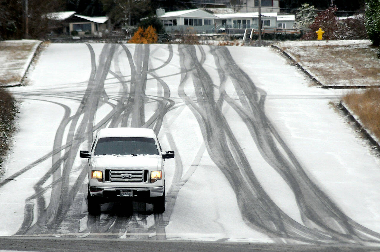
Snowfall totals Wednesday night and Thursday afternoon were modest throughout both Clallam and Jefferson counties but still managed to close some school districts and make driving icy and difficult to dangerous in various areas.
According to the National Weather Service in Seattle, Thursday afternoon snow totals were 3 inches south/southwest of Port Angeles, one-tenth of an inch at one location 2.8 miles south/southeast of Sequim, two locations 6 miles south/southeast of Port Angeles at one-half to 0.8 inches, one-tenth of an inch at Sequim and an area 5.8 miles east/southeast of Joyce received 5.8 inches.
Inch counts were higher at higher elevations.
Little was reported in Forks, and Jefferson County totals were reported as “sparse,” by the National Weather Service.
However, Matt Stewart, road maintenance supervisor for Jefferson County Public Works, said typically unless snowfall hits Port Townsend, it isn’t regarded as bad, but it can be outside the city.
“Tuesday night saw 6 to 8 inches in the Coyle area and several inches in the Port Ludlow and in the Center area again. We are fighting that wet, slushy snow that froze Tuesday night and Wednesday and now is frozen solid,” he said Thursday afternoon.
“We expect melting snow and salt will help with that. It’s really, really wet snow. We hope to take advantage of the afternoon highs to scrape it off and lay down salt so we are better off going into the weekend. If we are not plowing, then we will be salting for the weekend,” he said.
Clallam County road supervisors reported “very odd” snow distribution, with nothing to the east but with Sekiu, Clallam Bay, Joyce and Blue Mountain getting hit, along with a pocket along state Highway 112 from Lake Crescent to Joyce.
The snowfall has been good news for the mountain snowpack, according to the backcountry network of SNOTEL weather stations.
SNOTEL stands for SNOpack TELemetry, remote backcountry weather stations that measure snow and transmit the data wirelessly. It is an automated system of snowpack and related climate sensors operated by the U.S. Natural Resources Conservation Service.
The latest readings show the current “snow water equivalent” in or near the Olympic Basin at 107 percent compared to the average daily value for those sites.
Mount Crag, elevation 3,960 feet, recorded 191 percent of the snow water equivalent. Dungeness, elevation 4,010 feet, recorded 181 percent, and Waterhole at Hurricane Ridge recorded 122 percent.
The forecast for Port Townsend shows a slight chance of snow before 11 a.m. Friday, then rain and snow likely.
The forecast for Port Angeles shows a chance of snow before 10 a.m. Friday, then snow likely, possibly mixed with rain.
________
Reporter Brian Gawley can be reached at brian.gawley@soundpublishing.com.

