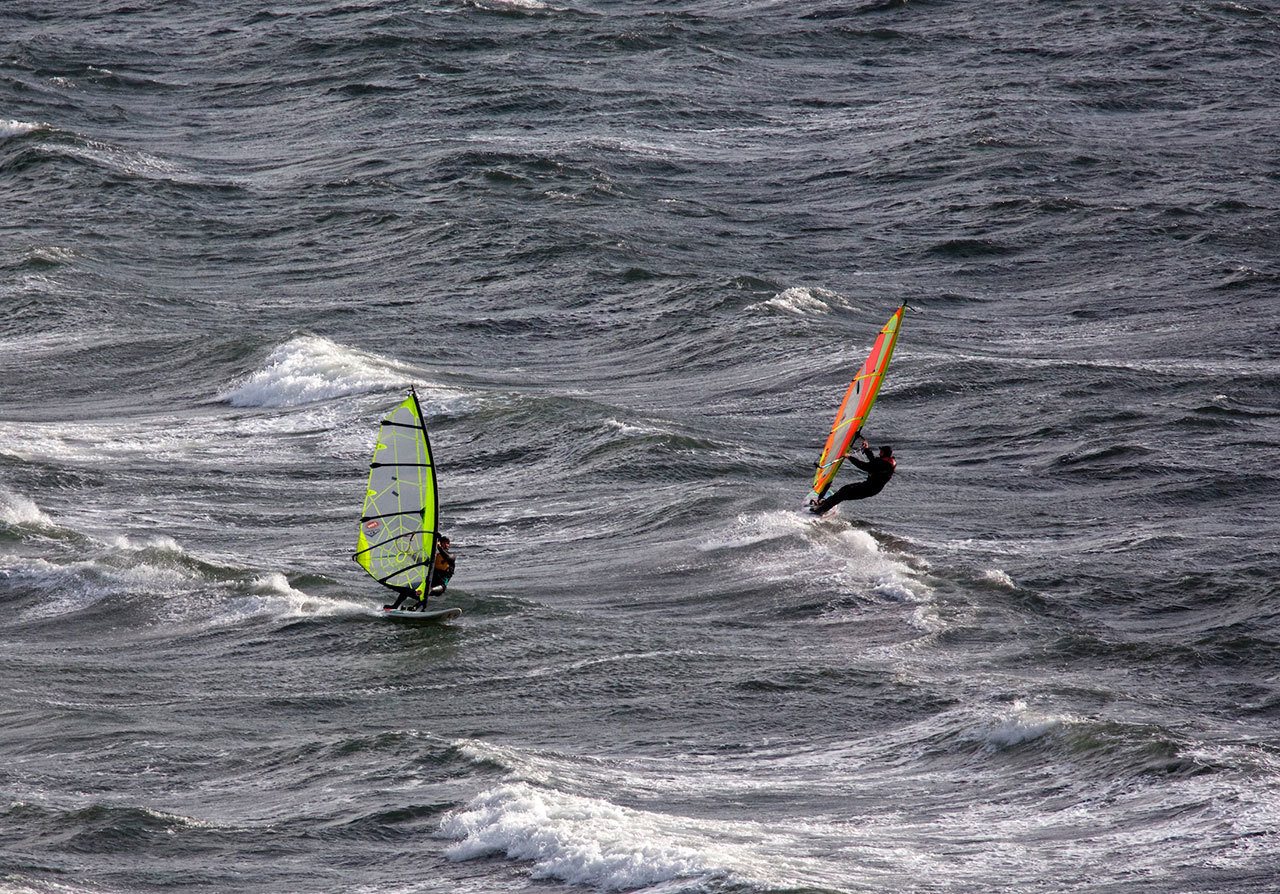
PORT ANGELES — What meteorologists had billed as a potentially historic storm left many on the North Olympic Peninsula underwhelmed over the weekend.
Remnants of Super Typhoon Songda were predicted to fuel a storm that models predicted would pummel Western Washington with 70 mph winds, though the only place with recorded 70 mph winds on the Olympic Peninsula on Saturday was Hurricane Ridge, according to the National Weather Service.
Different path
The storm tracked farther west than previously thought and went north into central Vancouver Island, said Jay Neher, a meteorologist with the National Weather Service.
The National Weather Service Tweeted late Saturday night that 3,500 miles of open ocean plus half a dozen global forecast models with differing solutions in time and space makes it difficult to forecast.
“Yes, our forecast did not turn out as predicted,” the weather service posted on Facebook. “We are not pleased about it either.
“Although weather models, the technology, and the science are constantly improving, there is still an aspect of unpredictability in weather forecasting. Sometimes, Mother Nature simply does not want to cooperate with the forecast.”
Throughout the week, meteorologists had said the storm could track north toward Vancouver Island, which would lessen the effects on Western Washington.
In the Port Angeles and Sequim areas, the highest recorded winds ranged from 36 mph to 47 mph, with the highest winds being on Ediz Hook.
Power outages were more widespread Friday than Saturday with the West End of the Peninsula getting the worst of it in Clallam County, said Michael Howe, Clallam County PUD spokesperson.
Close to 1,000 customers were without power Saturday. About 2,600 had been without power Friday. By Sunday morning, power had been restored to all but about 100 customers, he said, adding there was no estimate for when power would be fully restored.
Nearly 50 mph winds were recorded in Forks. The hardest hit areas in Clallam County were on the West End, including Neah Bay, Clallam Bay, Sekiu, Forks and La Push, according to the Clallam County Sheriff’s Department.
Forks saw 1.21 inches of rain Saturday into Sunday, compared to Port Angeles’ .74 inches and Port Townsend’s .65 inches.
Power and cellphone service was out in several areas of the county. A tree fell across U.S. Highway 101 at milepost 220 and temporarily closed Sol Duc Hot Springs Road and the highway to all traffic Saturday night.
County road crews responded to multiple reports of downed trees and limbs throughout the county. Emergency Operation Centers were opened in Sequim, Port Angeles and Forks to deal with the storm.
The Port Angeles Police Department evacuated Ediz Hook after crashing waves caused water over the road.
Olympic National Park crews were clearing storm debris from several roads Sunday. The park said Hurricane Ridge and Camp David Jr. roads and Heart o’ the Hills and Kalaloch campgrounds would open today after they had been closed in anticipation of the stormy weather.
East Jefferson Fire-Rescue didn’t see any significant call volume as a response to the storm, said Bill Beezley, spokesperson for EJFR.
“From the fire department’s perspective, we hadn’t seen much,” he said Sunday.
Jefferson PUD saw outages in Port Ludlow, Coyle Peninsula, Quilcene, Cape George and Port Townsend.
Winds were reported to have reached 36 mph in Port Ludlow and 54 mph in Port Townsend.
Jefferson PUD had restored power to all its customers by Sunday morning, before Port Townsend lost power around 11:30 a.m. because of a transmission line issue. By Sunday afternoon, power had been restored to most of the city.
________
Reporter Jesse Major can be reached at 360-452-2345, ext. 56250, or at jmajor@peninsuladailynews.com.

