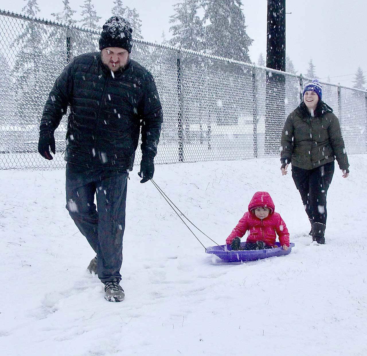
The lowland’s first snow of the season hit the North Olympic Peninsula on the first day of winter Monday afternoon.
By 3 p.m., snow was coming down thickly on the west side of the Peninsula, from Neah Bay through at least Sequim, and it was mixed with rain by 4 p.m. at Discovery Bay while snow fell in Port Townsend but was not sticking.
Mary Butwin, a meteorologist with the National Weather Service in Seattle, said at about 3 p.m. that a cold front was moving from west to east after a warm front had passed through the northern part of the Peninsula.
She predicted the storm would taper off overnight and that today would be sunny but cold.
“All precipitation should die out tonight,” Butwin said Monday.
The weather caused havoc in several areas Monday afternoon, with traffic wrecks and standing water in streets reported.
Water was pooled on First Street outside of Swain’s General Store in Port Angeles and on Washington Street outside QFC in Sequim. Geysers were seen in drains, and water filled intersections on Front and First streets, according to the Clallam County Sheriff’s Office.
Many of the county roadways east of Port Angeles had standing water, and state Highway 112 in the Joyce area was under several inches of water in many locations, the Sheriff’s Office said.
The lowland snow was unexpected for most. Butwin, who has a doctorate degree, said that by Sunday night, meteorologists were expecting snow at least as low as 1,000 feet but were aware of the possibility it could hit sea level.
Butwin expected the storm to drop about a foot of snow at Hurricane Ridge and elsewhere in the Olympic Mountains.
The Jefferson County Emergency Management Office issued at 2:30 p.m. a winter storm warning until 7 p.m. Monday, saying travel could be difficult.
Winds were expected to pick up Monday night, Butwin said; winds over the open water at the Strait of Juan de Fuca could get to sustained speeds of 30 mph, she said.

